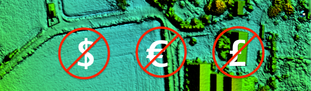
Behind this heading a real highlight is waiting. The European Environment Agency offers a massive amount of interesting datasets touching different themes of europe and the world. Additional to infographics, charts and much more, you can find interactive material about the latest environmental developements in europe. Nearly all datasets are free available.
If you’re looking for global precipitation data, the german weather service (Deutscher Wetterdienst) is one of the top addresses. On their portal you will find a huge amount of rainfall data, in some cases you can get time series starting in 1901.
I’m always looking for good sources of free data, so I thought I would post a few here in case they were useful to others. The sources listed below tend to be larger providers of regional to global level data, however, please post suggestions in the comments if there are other sources you like and think should be added. I had initially planned to include vector data here, but I think that will be another post as this one got quite long. SAR Data Free Synthetic Aperture Radar data can be some of the hardest to find, but it is…
Map Projections The question of map projections and how to reproject data is one that comes up often in discussions with both experienced colleagues and those new to the geospatial profession. I’m not going to go through a complete discussion of map projections here, as there are many resources available on the Internet that can help you. I’m going to focus more on how to move data between projections. At its most simple a map projection is simply a mathematical description of how to take data on the surface of a sphere, that are inherently 3-dimensional, and transform them to…
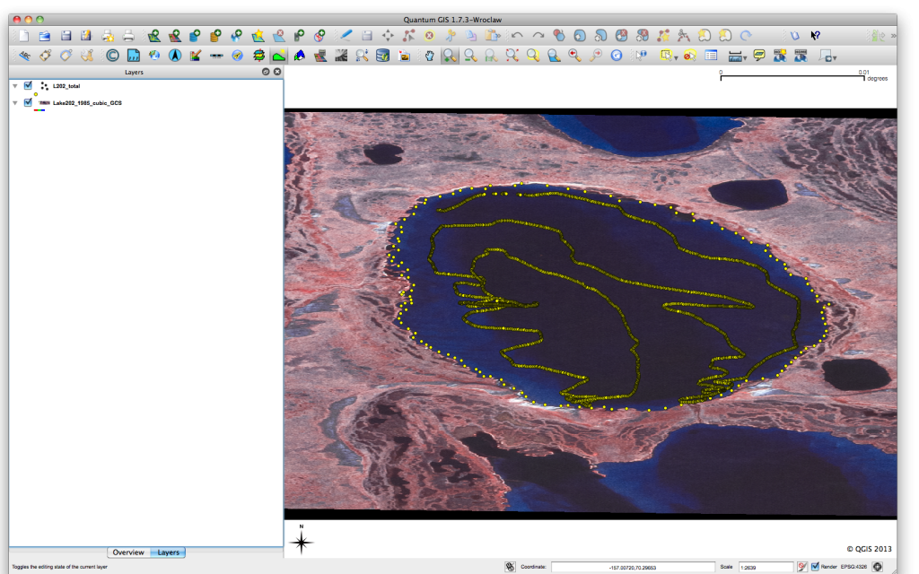
Previous posts in this series QGIS Plugin – RasterCalc QGIS Plugin – OpenLayers Point Sampling Tool I have recently been working on a project that has required the extraction of information from a raster layer based on point positions in a vector layer. I’m not a big user of vector data, but I suspect this problem comes up from time to time. In my investigation of how to solve this, I found a great QGIS plugin, the Point Sampling Tool. The Point Sampling Tool allows you to easily extract values from a raster layer based on a vector point layer.…
Looking Back Most people using GIS or remote sensing data came across the data obtained by the landsat satellite family. It all started with the Landsat 1 mission on July 23, 1972. The Landsat missions aquired millions of pictures which made available to public usage in 1992. Sensors developed and provided more and more details in terms of spectral and ground resolution.
Springer and the sword of VPN Many universities own licenses to get access to the content of scientific oriented publishers. Using a VPN-tunnel every enrolled student every student has the possibility to explore this content online. Sometimes you’ll find whole books online you would like to save locally maybe. This donwload isn’t that easy as each book is separated into chapters which needs to be downloaded seperately and merged by zusing some exterior program like pdfsam. It is not unlikely to own a whole bunch of pdfs without any order.
[jetpack_subscription_form show_subscribers_total=0 title="Newsletter" subscribe_text="Subscribe to our Newsletter and don't miss a post! Tragen Sie sich in unserem Newsletter ein und verpassen Sie keinen Artikel" subscribe_button="OK" ]