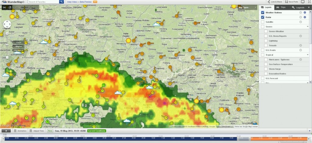
On Saturday, some villages near my hometown suffered heavy rains. Up to 100 l/m² arrived during the afternoon and evening in Kirchhasel and other places in central Thuringia. Small streams became rivers and flash flooding occurred, damaging houses, roads, and cars. The local newspaper has an impressive pic dump. Locals say this have been the worst flooding for at least 40 years, so pretty much excitement here, we are not really used to this despite the river Saale caused some heavy floodings in the past. Now it looks like thunderstorms will arrive again: So I had a reason to think…
On the 9th of May Google introduced an astonishing new technology that makes the good old flickr function in Erdas Imagine quite useless. With the Earth Engine from Google Earth you will be able to see the world change since 1984. They have compiled about 900 terabyte of Landsat Data. So they stitched, balanced the contrast, analysed and ordered about 2’000’000 images of the world to provide a comprehensive look into Earth’ history: Erdenet (Mongolia): coal mining lake Ugii Nuur (Mongolia): drying and dying Jänschwalde (Germany): coal mining Las Vegas (USA): urban sprawl Additionally you are able to browse the…
As I have seen today on engadget Youtube presents now a new Trend Map where you can see what viewers in the US like to see on Youtube. At the moment it seems to be the True Blood Trailer for Season 6. But the more interesting part is the analysis of metadata of the viewers: you can select different sexes, age groups and cities. Furthermore you can easily see, that older people tend to have a more diversified watching habbit.
In some countries, such as the USA and Spain, there is a very nice law that makes life easy for geoscientists. This law guarantees free access to a broad range of geospatial data like DEMs, satellite imagery, aerial photographs, ground use data, hydrological information and so on. In most cases, these data are made public via web-based GIS applications. These are generally rather slow, but allow to display a lot of different datasets. I did both my diploma thesis and my PhD in Spain and I really needed to find out about all the data available. I knew that they…
[jetpack_subscription_form show_subscribers_total=0 title="Newsletter" subscribe_text="Subscribe to our Newsletter and don't miss a post! Tragen Sie sich in unserem Newsletter ein und verpassen Sie keinen Artikel" subscribe_button="OK" ]