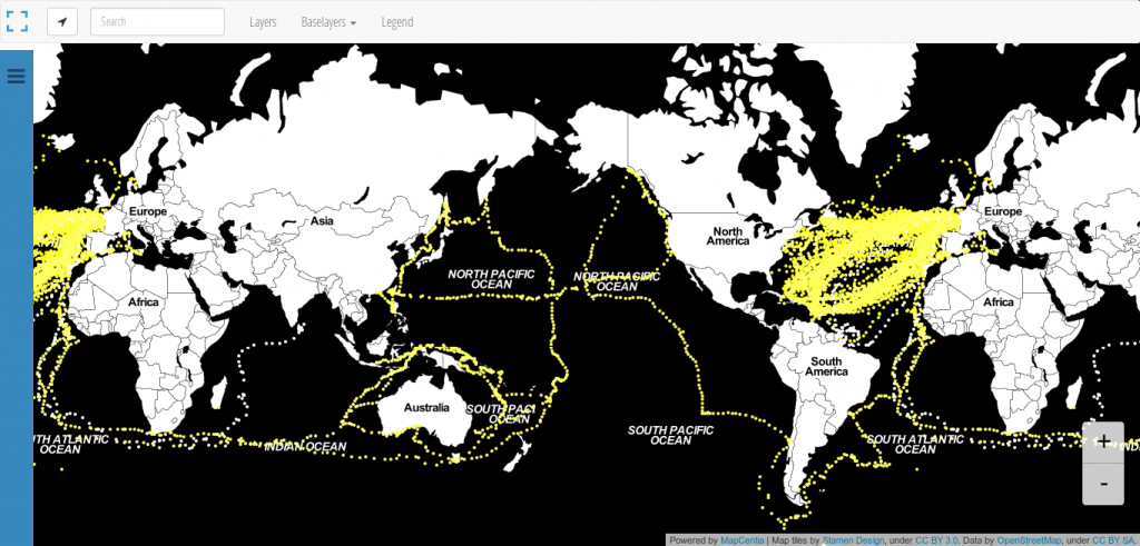
We all know: Black is beautiful. So is this map from Andrew Zolnai. But besides the stunning Stamen toner background map he also shows the significant amount of 260.000 points on one map: historic logbook entries of ships.
In contrast to magnitude, which describes the energy release of an earthquake, the intensity of a seismic event describes its effects. Obviously, the intensity value depends on the location of the observer, on the earthquake parameters, but also on what is used to ascribe earthquake effects. Many scales exist. Most macroseismic intensity scales are based on earthquake damage to buildings and infrastructure. The MM and, especially in Europe, the EMS-98 scales are widely used. All these scales that take into account damage to man-made structures have at least four problems in common: It is hard to compare building types world…
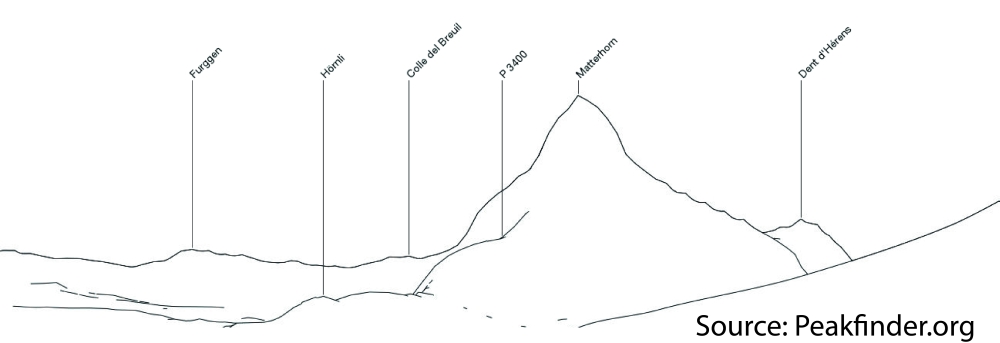
Peakfinder.org is a fascinating website. It’s not new, but I just came across it few days ago by a recommendation of @callanbentley. It appears very simple, very clever and very beautiful. The site allows you to find peaks (mountains and hills) in your surroundings or wherever you want. Basically, it draws a simple line sketch of the horizon as you see it from your current position and names all the peaks in your sight. I could spend hours on this. The website’s layout is amazing. It’s calm, pure and perfectly organized. Some options include searching for peaks from a database and…
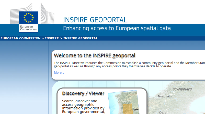
Aalborg in Denmark will be a place to be in the middle of June as INSPIRE rocks the city. The initiative “Infrastructure for Spatial Information in the European Community” commonly known as INSPIRE will have their annual meeting/conference in the northern part of Denmark.
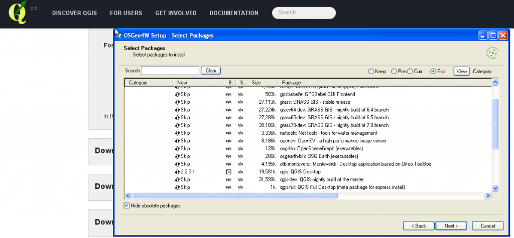
The undercover GIS queen “Underdark” a.k.a. Anita Graser came up with this headline today and we had seen some little insight in the upcoming QGIS release already. So it is in the OSGeo4W installer but it is still experimental…
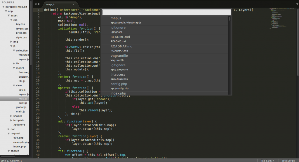
Let’s face it: being a geoscientist and writing code goes hand in hand in recent times. Most programs have their own code editor like MatLab with its m-file generator or R with its handy version of RStudio. But when it comes to webmapping and direct code writing in an open environment you are mostly sticked to a certain editor which has some syntax higlighting and maybe a syntax checker like Notepad++, kate, textwrangler or Sublime.
[jetpack_subscription_form show_subscribers_total=0 title="Newsletter" subscribe_text="Subscribe to our Newsletter and don't miss a post! Tragen Sie sich in unserem Newsletter ein und verpassen Sie keinen Artikel" subscribe_button="OK" ]